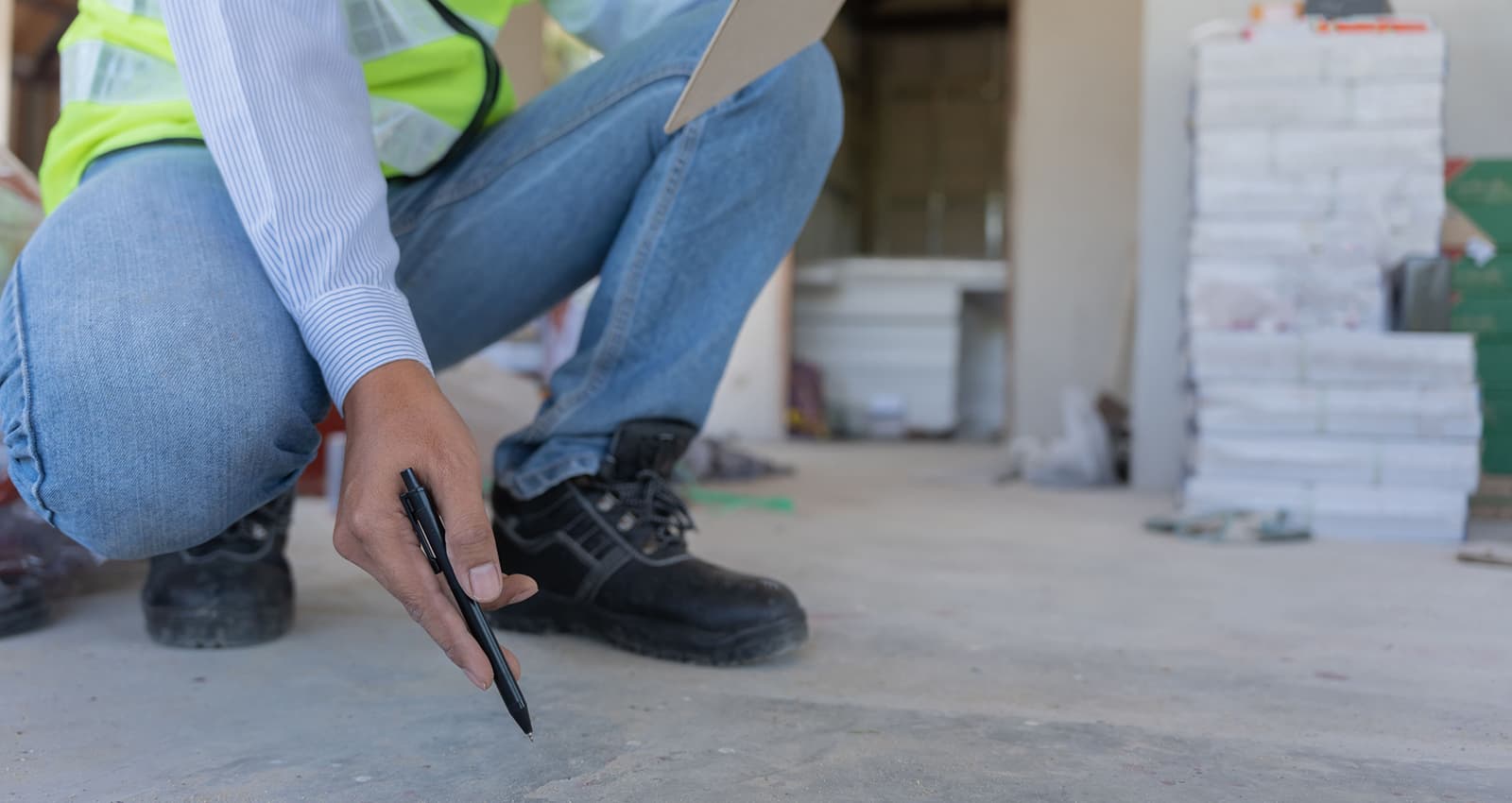
Before a shovel or excavator ever disturbs the surface of the ground, there’s a question that needs to be answered first: what’s down there? Underground scanning is the process of detecting and mapping what lies beneath the surface — pipes, cables, tanks, voids, and other unseen features that could be potential hazards if struck, and it does so without ever disturbing the ground.
How Underground Scanning Works
Most underground scanning relies on ground penetrating radar (GPR), a non-invasive technology that sends electromagnetic pulses into the ground and reads the signals that bounce back. Different materials reflect those pulses differently, which allows a trained technician to distinguish a water line from a tree root, or a void from solid earth. GPR is often paired with electromagnetic (EM) locating, which is especially effective at tracing metallic pipes and live electrical wires.
The output of these tools is a real-time data during the scan. Some providers overlay this data onto site plans so it can be referenced by anyone working the project later.
What Underground Scanning Detects
A thorough underground scan can reveal:
- Water, gas, sewer, and electrical lines
- Fiber-optic and telecommunications cables
- Underground storage tanks
- Septic systems
- Rebar and post-tension cables in concrete slabs
- Voids, sinkholes, or soil density changes
- Old foundations or buried debris from prior construction
Who Needs Underground Scanning
Construction and excavation companies are the most obvious users of underground scanning services. Before digging footings or trenching for utilities, contractors need to know what’s underground to avoid costly delays, equipment damage, or utility strikes.
Homeowners and property buyers increasingly use underground scanning too — before installing a pool, building an addition, planting large trees, or simply confirming what’s on a property before purchase, especially on older lots where utility records may be incomplete or wrong.
Utility companies and municipalities rely on it to locate their own aging infrastructure, especially where paper records are outdated, missing, or were never created in the first place.
Engineers and architects use subsurface data during the design phase, so foundations, drainage, and utility tie-ins are planned around what’s actually there rather than what’s assumed.
Environmental and forensic investigators sometimes use similar technology to locate buried containers, contamination boundaries, or other subsurface anomalies relevant to an investigation.
Why It Matters
The core reason underground scanning exists is risk reduction. Striking a utility line during excavation isn’t just expensive — in the case of gas or electrical lines, it can be extremely dangerous. Calling the free 8-1-1 utility locating service before digging will get major utility lines marked, but that service typically covers only utility-owned lines up to the meter, not everything on private property. Underground scanning fills that gap, covering private lines, unknown structures, and anything the free utility locating service didn’t catch.
In short: anyone about to disturb the ground benefits from knowing what’s underneath, and utilizing an underground scanning service is the best way to find out.
